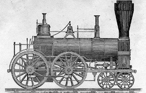
Maps showing the location of the Boston & Worcester Rail Road: copied from the maps in the offices of the clerks of the county commissioners in the several counties. (1835). Library of Congress.
Relevant Date(s)
1831

© 2020 Collaborative for Educational Services - All Rights Reserved