

Additional details about images used in the online exhibits and throughout the Emerging America site are available on the Image Credits page. Links to the letters and other primary sources appear throughout the site, especially under “Story of the Steamboat Barnet.”. Or you may browse an annotated the list of all our primary sources grouped by type.
Through the rich set of primary and secondary resources on this site, visitors can follow the voyage of the Steamboat Barnet, the first steam-powered boat to pass the Enfield Rapids of the Connecticut River in 1826 and open up western New England to water-based transport of goods and people. Students and teachers will learn about this significant event in the Transportation Revolution through an examination of a variety of primary sources, including letters, published memoirs, speeches, drawings, paintings and newspaper advertisements. The Cast of Characters, an interactive timeline and interactive map will place these sources and events in the context of this dynamic time in U.S. History.
Images
Maps
1873 Map of Northampton, Florence, and North Leeds, the NAEI mill has grown into the Nonotuck Silk Mill complex.
See also https://www.emergingamerica.org/curriculum/exhibits/radical-equality/background/sources/maps-northampton-1831-1853-and-1873.In the 1831 Map of Northampton, look for “Broughton’s Meadow” in the Northeast quadrant of the map, along the Mill River. The adjacent “Oil and Saw Mills” became the silk factory and main dormitory of the NAEI in 1842.
The 1853 Map of Northampton hows downtown Northampton a few years after the NAEI. The Hampshire & Hampden Canal in the 1831 map has been replaced by a railroad along Market Street. Smith College would not appear until 1871. The map is oriented with North on the left.
See also https://www.emergingamerica.org/curriculum/exhibits/radical-equality/background/sources/maps-northampton-1831-1853-and-1873.School Records
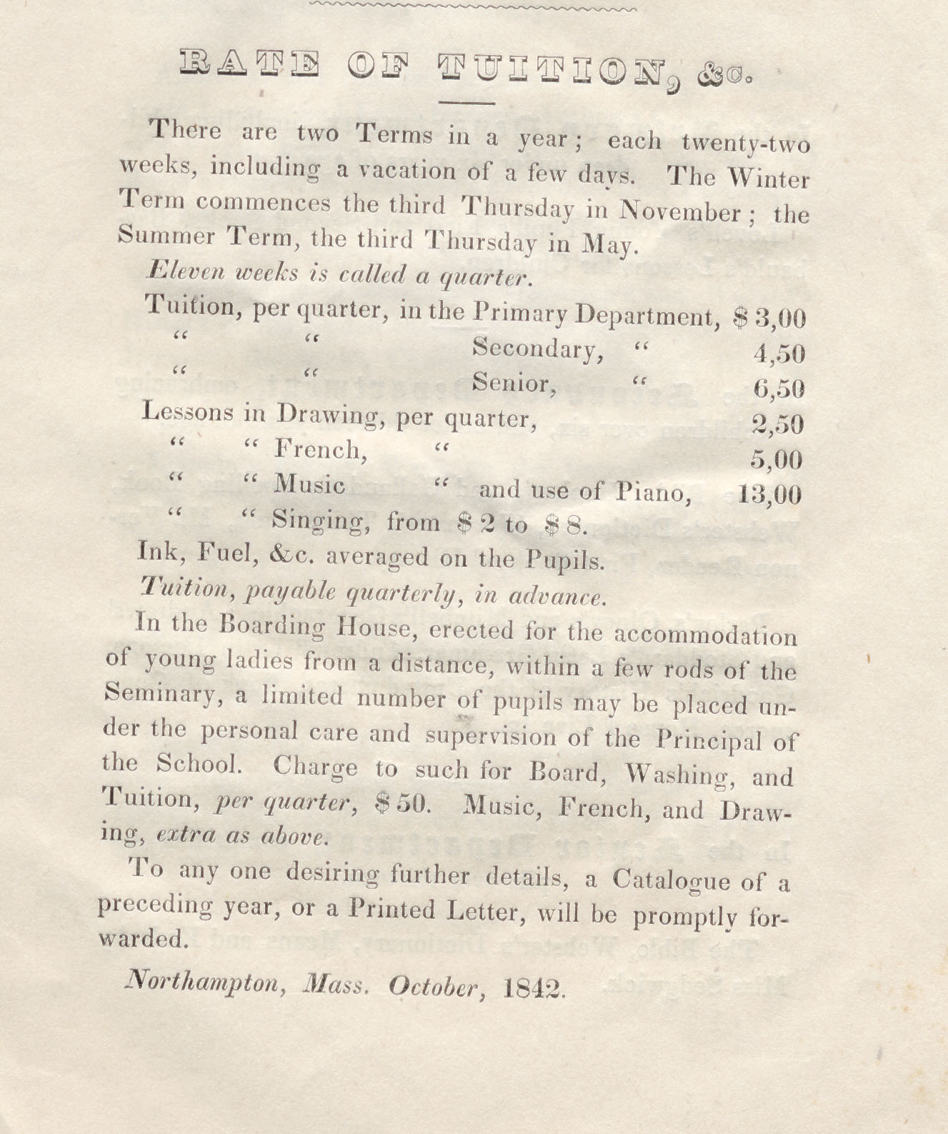
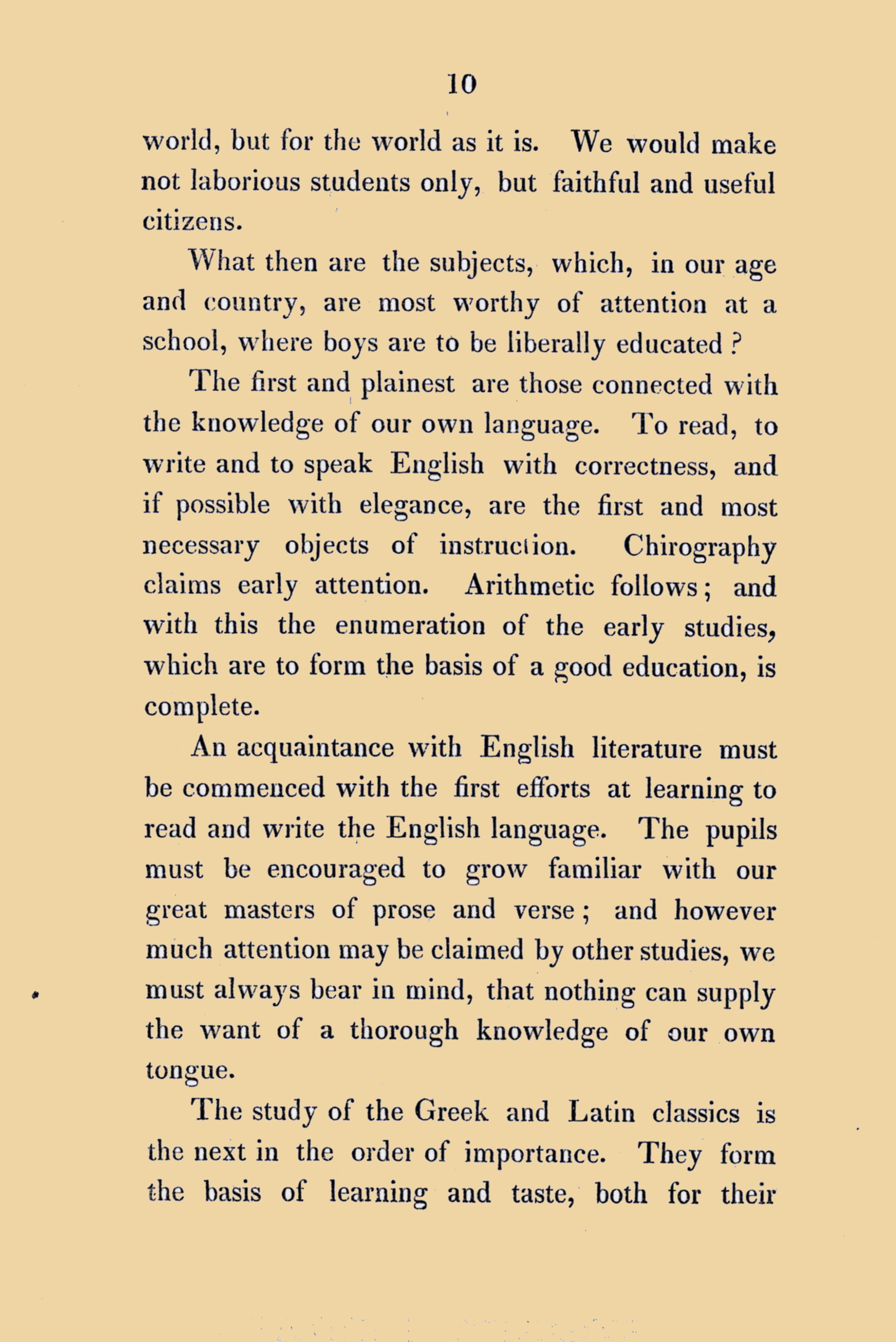
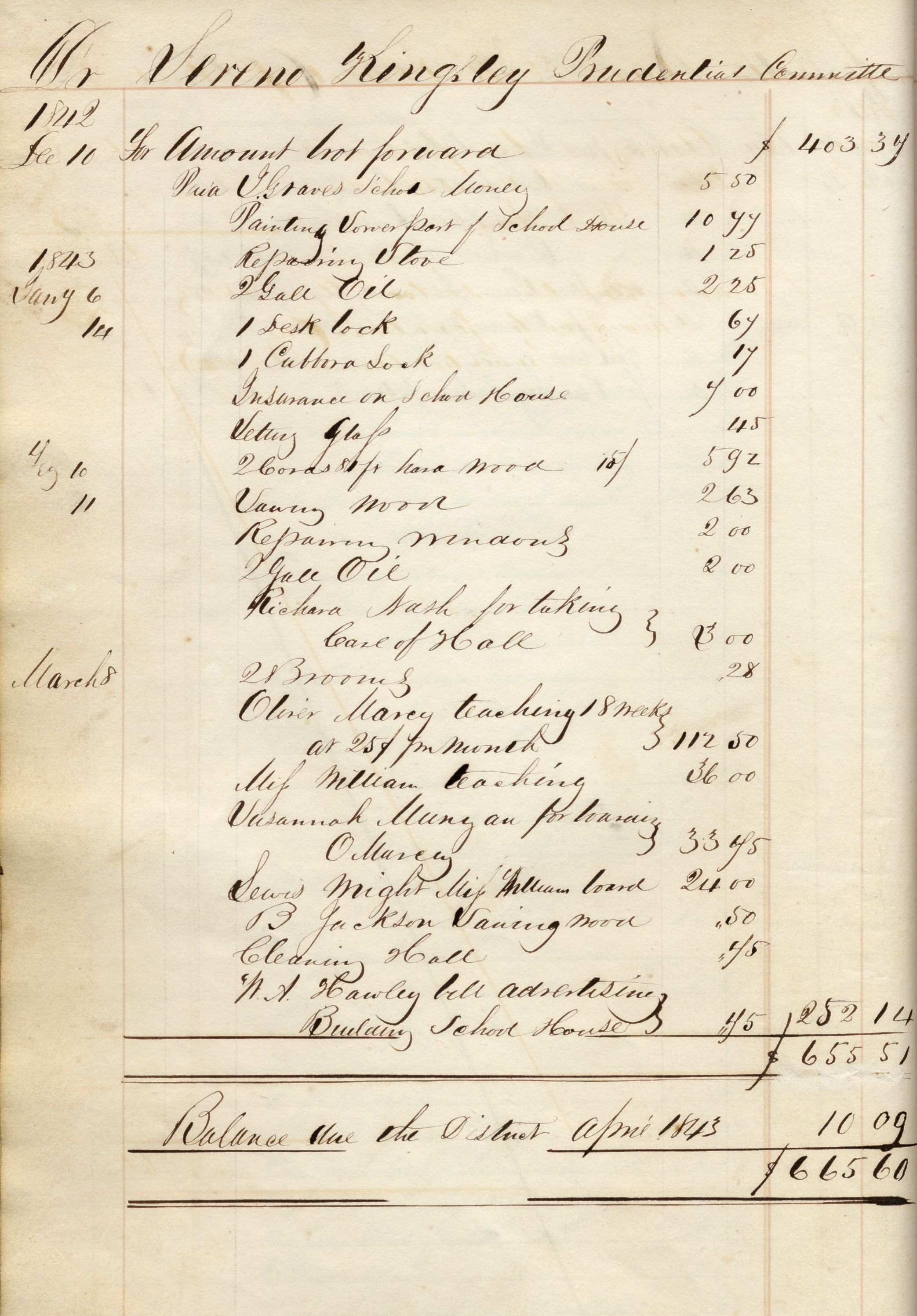
Northampton Association Records
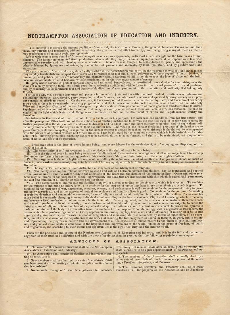
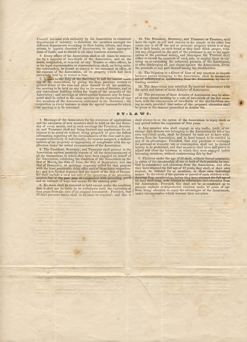
Northampton Association of Education and Industry. The original constitution of the Northampton Association, written in 1842, emphasizes the reasons why members chose to separate themselves from society. This founding document lists the various principles the members agree upon, including the productive qualities of labor and the importance of self-improvement, and concludes with a few regulations about the process for membership.
Northampton Association of Education and Industry. In 1843, the members of the Association modified the preamble and articles of the NAEI constitution. The new document included passionate language about the need for equality among all members of society. The updated version was also more specific about the requirements for new members and about the general governance of the Association.
Northampton Association of Education and Industry. In 1843, the members of the Association modified the preamble and articles of the NAEI constitution. The new document included passionate language about the need for equality among all members of society. The updated version was also more specific about the requirements for new members and about the general governance of the Association.
Book Excerpts
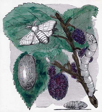
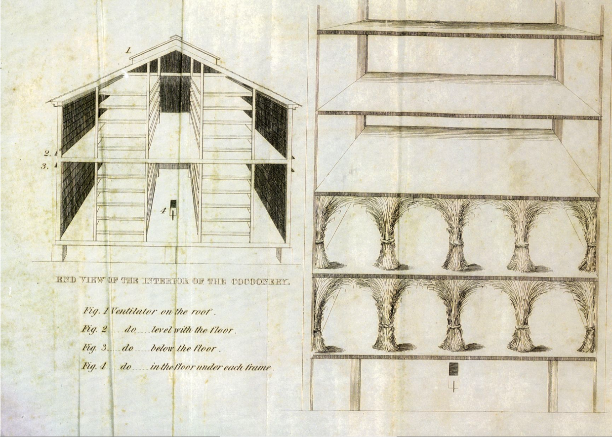
A Manual containing information respecting the growth of the Mulberry Tree with suitable directions for the Culture of Silk,” Boston, 1831.
“ What I Found at the Northampton Association” by Frederick Douglass in The History of Florence, Massachusetts, edited by Charles A. Sheffeld, 1895.
Hampshire Gazette Newspaper Articles
“Silk Worm Eggs” Advertisement selling silkworm eggs. (Column 2, near the top)
“Silk” Short statement about the ease of growing silk. (Column 5, near the middle)
“An Exhortation to Farmers’ Daughters” An article encouraging farmers to keep their daughters at home, rather than allowing them to go off to work in factories. (Column 4, at the top)
“Silk Convention” Resolutions of a silk growers convention. (Column 3, at the top)
“Silk Convention” Article explaining why silk could save agriculture in the region. (Column 4, near the bottom)
“Northampton Association” Column praising Association silk. (Column 2, near the top)
“The Community” A short account of the Northampton Association. (Top of Column 1)
“Mulberry Culture” from Samuel Whitmarsh. Part of a series of articles on silk culture, offering advice on various aspects of the process. (Column 3, midway down)
“Caution to Purchasers of Mulberry Trees” A notice from Samuel Whitmarsh, encouraging local silk growers to come see his mulberry trees. (Column 4, near the top)
“Reeled and sewing silk…” A report from the cattle show praises the value of silk in helping prevent reliance on foreign products. (Far right column, paragraphs 5-8, in middle)
Liberator Articles
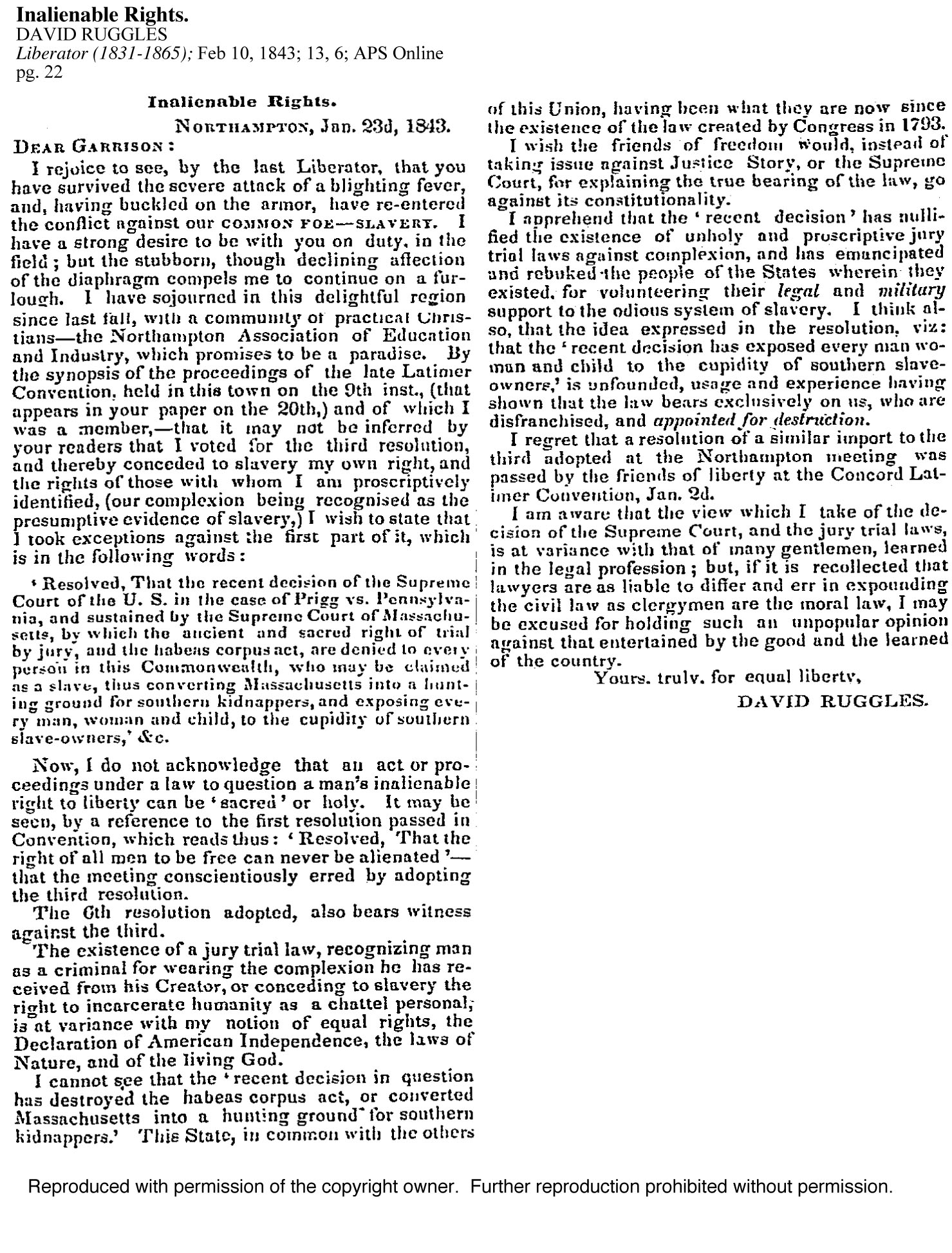
Writer responds to critique of the Northampton Association on rights for women,
and governance by committee rather than a single leader.
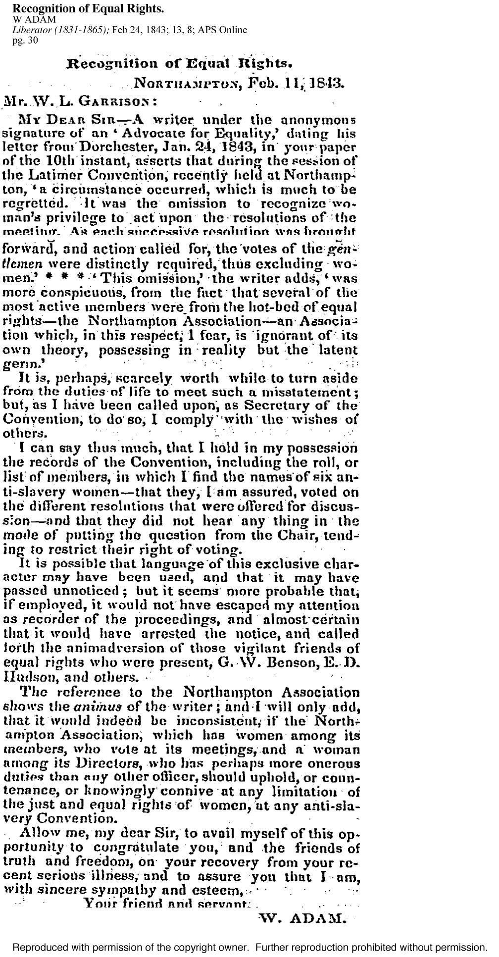
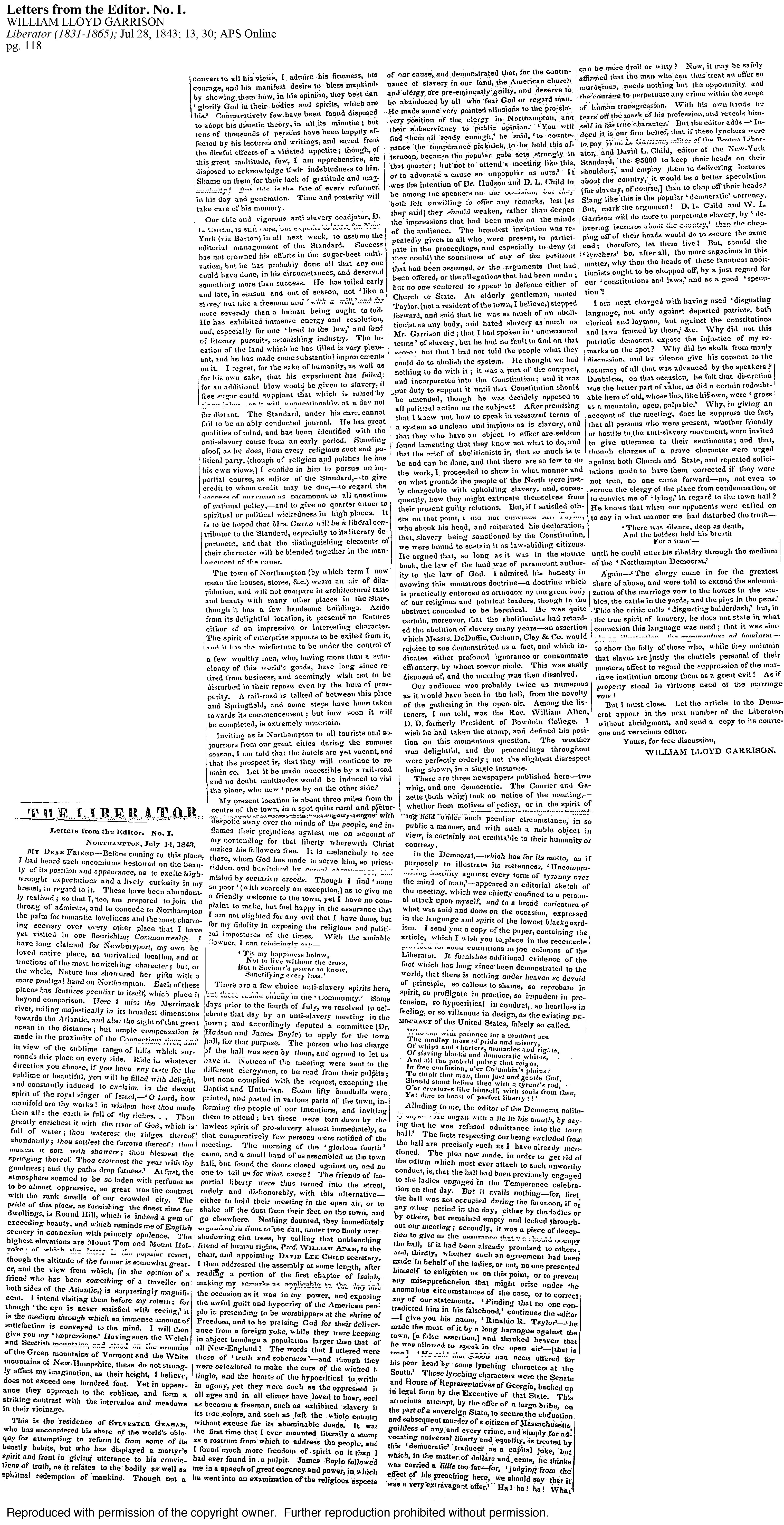
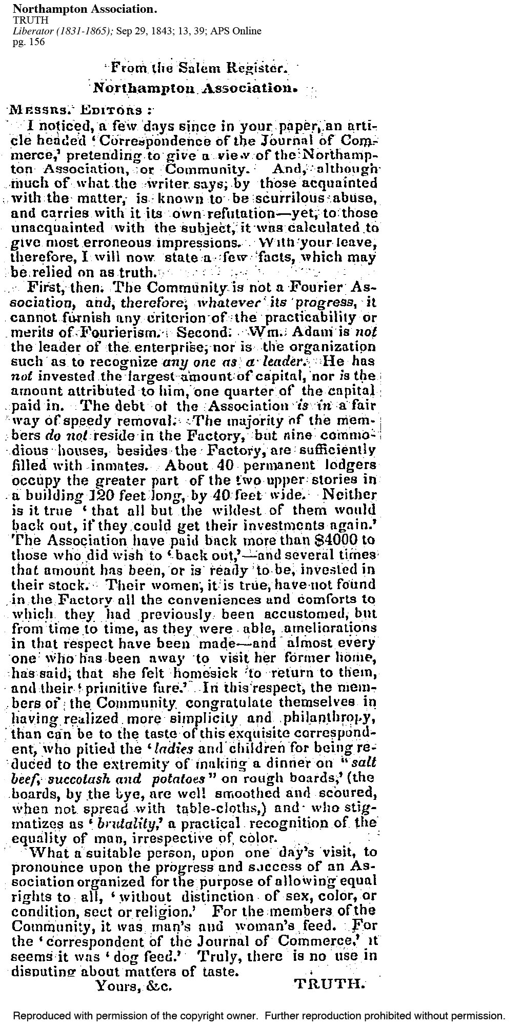
An anonymous observer corrects local perceptions about the Northampton Association.
Article praising education at the Northampton Association, despite its other more radical practices.
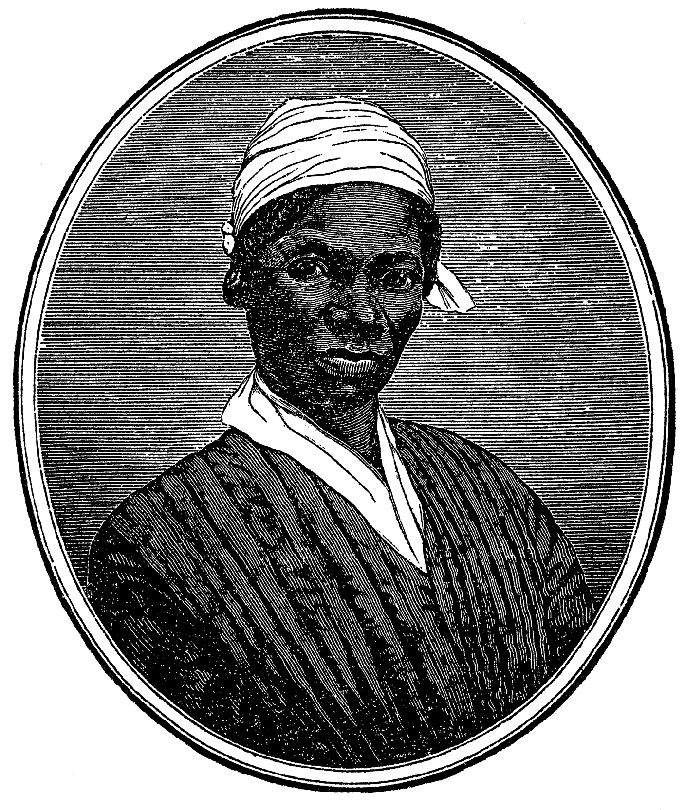
Speech given by Sojourner Truth at the Proceedings at the Anti-Slavery Celebration. July 4, 1854, Framingham, Massachusetts.
Stetson Letters
Almira writes about her work in the cocoonery, and Mary relates Sojourner Truth’s reaction to an event at the factory.
Dolly shares the events of daily life at the Association, including her confidence in the Association despite its mounting debt. She also mentions David Ruggles.
Stebbins gives his opinion on the proposed recruitment of new members.
Dolly recounts the details of a convention on utopian communities held at the Association.
Dolly writes about a new plan for adult education at the Association. She also disagrees with Sojourner Truth about the dangers of card games.
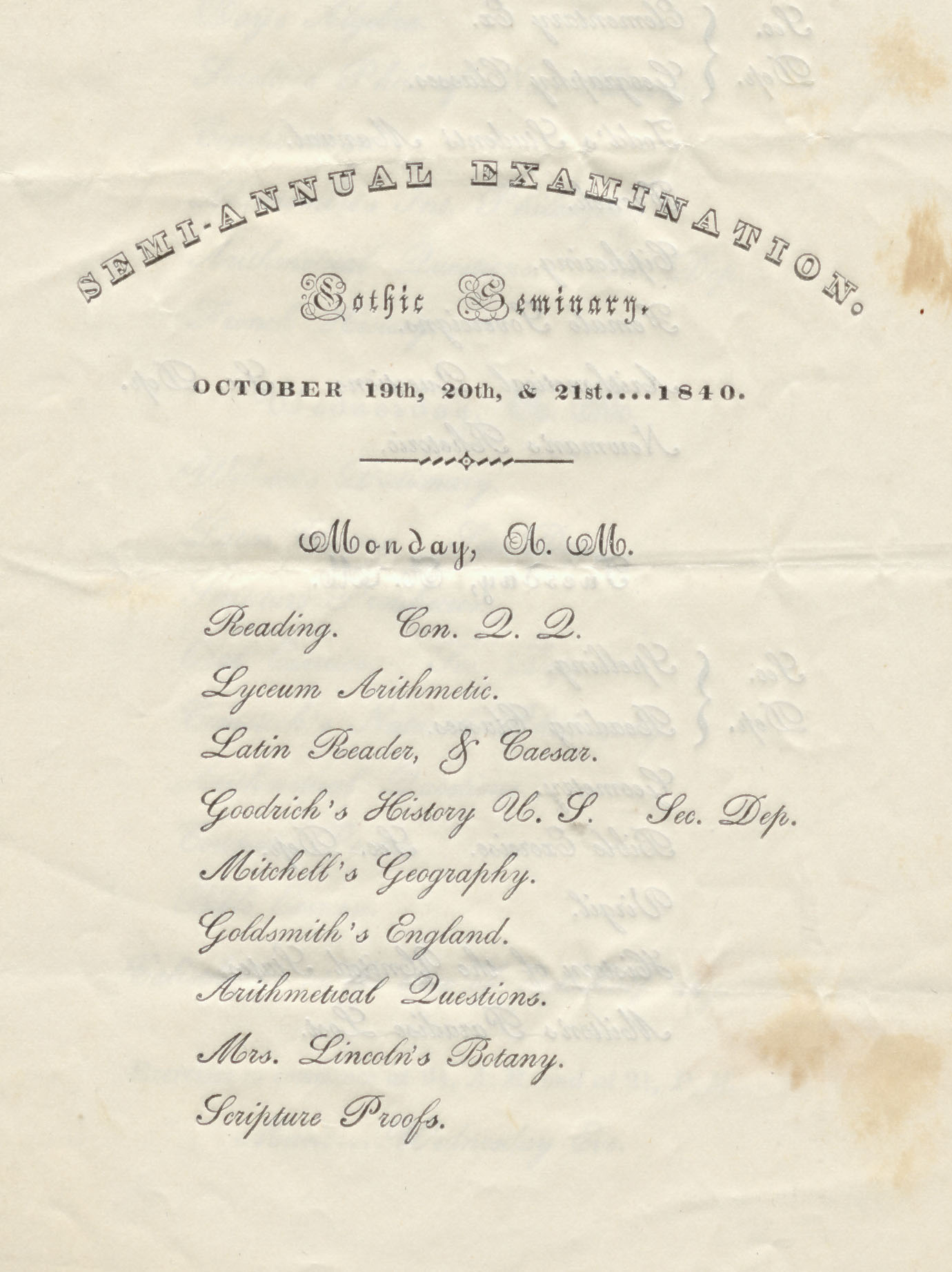
Mary shares the details of her day at school.
Dolly writes about the Lyceum program for adults. She also mentions Sojourner Truth’s return, and her subsequent discharge from laundry duties.
Dolly shares with James the conflict over management at the Association. A prominent member decided to leave because of conflict with Sojourner Truth over moralistic restrictions.
Dolly relates more to James about the conflict over management at the Association.
Sarah tells her father about her life, mentioning a paper the children are writing together.
Almira shares her ambitions and goals for the future.
Dolly recounts a debate over dancing in the new dining hall.
Dolly attempts to convince James to remain at the Association.
Dolly writes about the transition from life at the Association to living in Northampton.
James writes to convince Dolly to join the Association, writing on the back of the Association’s constitution.
Dolly expresses her concerns about money owed the family from the silk department, and whether the family should move to a different house on the property. She also celebrates her lack of housekeeping worries.